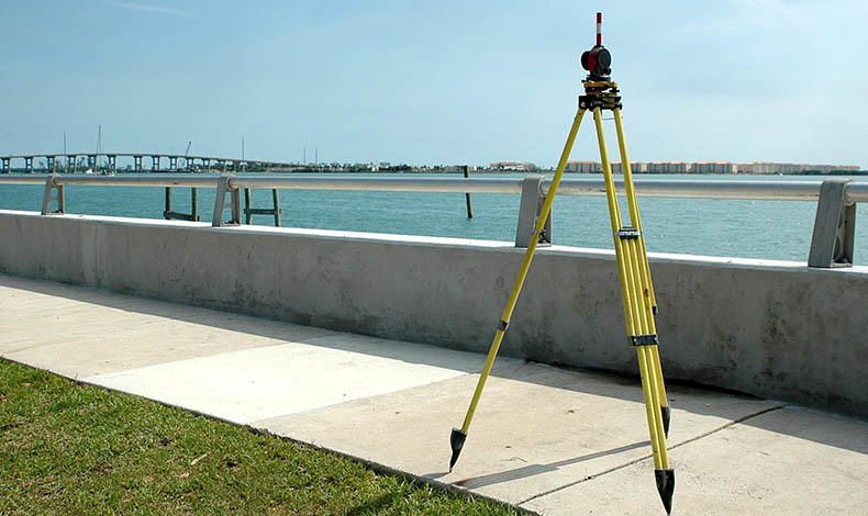
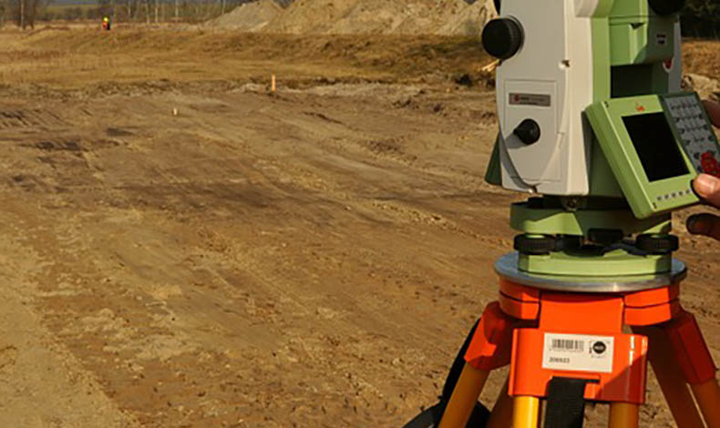
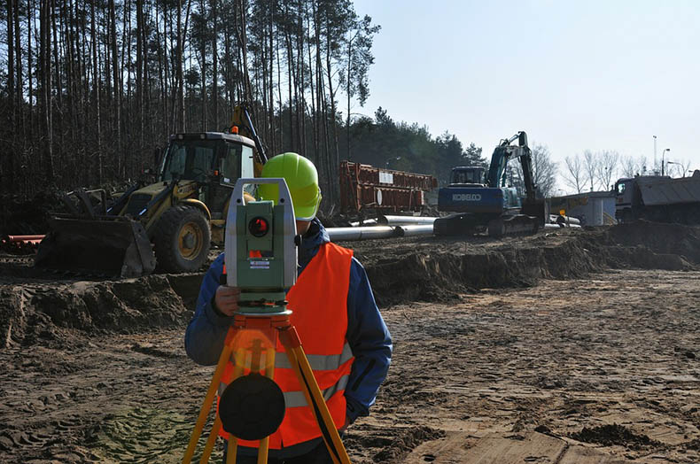
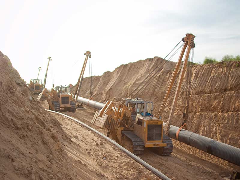
Data required for design and represented in the form of topographic and geodetic materials as well as the parameters and features of area’s topography may be obtained with the help of engineering and geodetic surveys.
Modern equipment and vast experience in the field of engineering and geodetic surveys
The result of such surveys are materials in digital, graphic, photographic and any other form, which represent the information on existing facilities, above ground and underground facilities, buildings and other elements of planning. The acquired data are required for conduction of analysis and assessment of natural and man-triggered conditions, including the ones in water areas.

